A few examples:
> The Mobile City has organized various events on mobile applications of social networks and public engagement in urban systems, such as Social Cities of Tomorrow (2012).
> The municipality of Amsterdam launched a google maps application that lists vacant spaces and buildings. Each object has a list of information for possible new (temporary) users, explaining what kind of activities the municipality would like to have there, who is the contact person, area and pavement type etc.

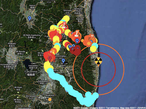
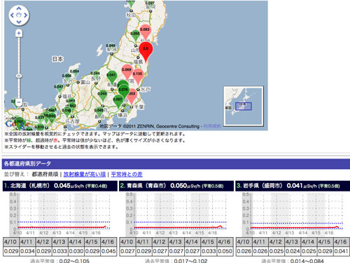
The Japanese website Geigermaps has bundled information on radioactivity, measurements with Geiger counters and map applications providing information of radioactivity to the population. Shortly after the Fukushima accident the initiative was widely adopted.


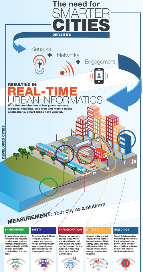
Postscapes collects new ways to make our cities smarter, using sensors, networks and engagement.
