How much have we built on the earth’s surface over the last 40 years?
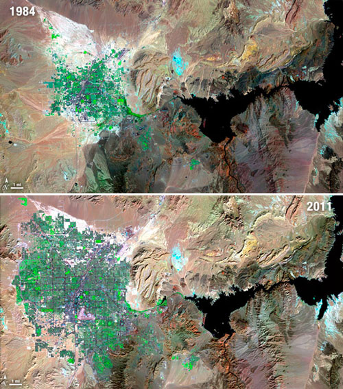
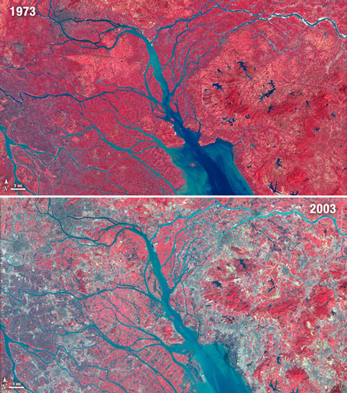
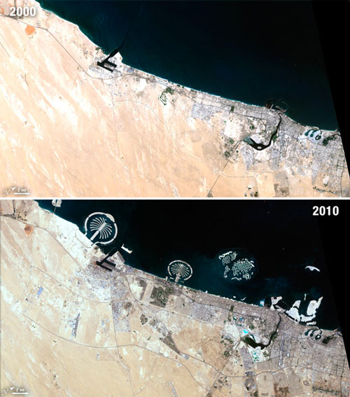
Wired Science features satellite images of urban settlements in the 1970’s and this decade, demonstrating massive urban growth.There is also a set of videos about Landsat’s most historically significant images, including the Kuwait oil well fires and Amazone deforestation.

Growth of Las Vegas
“In celebration of four decades of collection of irreplaceable data and incredible images, the Landsat team released these images of change in 11 cities and urban areas all over the world. Images courtesy of NASA and the USGS.”

Growth in the Pearl River Delta

Growth in Dubai
Nice!
there is this great yearly animation for Vegas: http://urbandemographics.blogspot.com.br/2012/03/las-vegas-urbanization-1976-2010.html
and this Gif for Dubai
http://urbandemographics.blogspot.com.br/2010/07/dubai-teste.html